Reviews: Putting the Bible on the Map
060

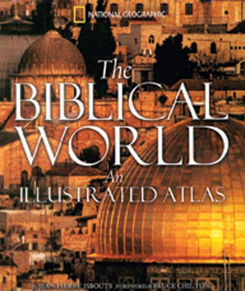
The Biblical World: An Illustrated Atlas
by Jean-Pierre Isbouts
(Washington, DC: National Geographic, 2007), 367 pp., $40

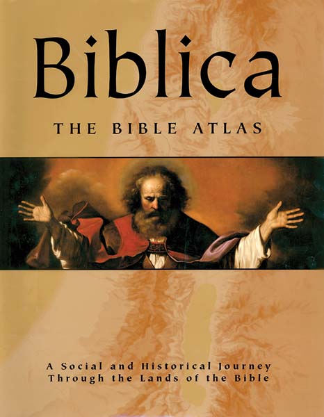
Biblica: The Bible Atlas
by Barry J. Beitzel
(Lane Cove, Australia: Global Book Publishing, 2006), 575 pp., $50

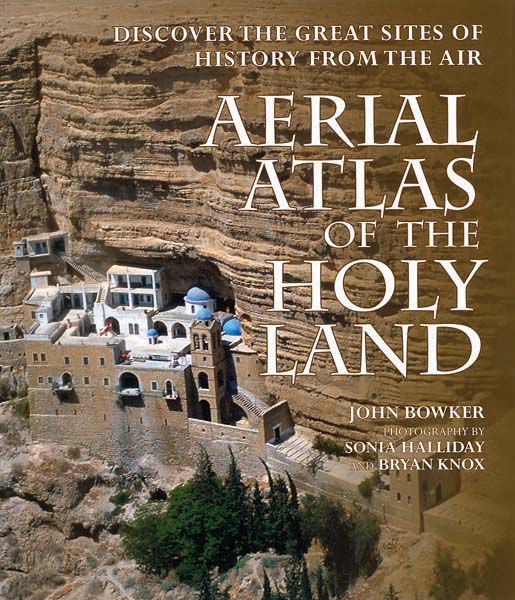
Aerial Atlas of the Holy Land
by John Bowker
Photography by Sonia Halliday and Bryan Knox
(Buffalo, NY: Firefly Books, 2008), 256 pp., $49.95

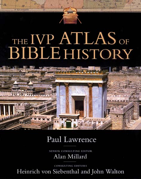
The IVP Atlas of Bible History
by Paul Lawrence
(Downers Grove, IL: InterVarsity Press, 2006), 187 pp., $40
A quick survey of online booksellers indicates that well over 30 Bible atlases are in print. Is there really a need for yet another atlas? The hope is that, as archaeological investigations continue, new atlases will incorporate our new knowledge of the Biblical world. The four atlases under review meet that hope in varying degrees.
The Biblical World: An Illustrated Atlas (hereafter TBW) by Jean-Pierre Isbouts is richly adorned with pictures, illustrations and an easily accessible text that serves its popular aim. As the title suggests, the focus of the work is the world that surrounded the Bible and not specifically the history or geography of the Biblical narrative.
Biblica: The Bible Atlas (hereafter Biblica) by Barry J. Beitzel is the most impressive of the new offerings in size and appearance. It is magnificently illustrated with “artistic representations of Biblical events.” Its team of advisors is likewise impressive, including Jewish, Catholic and Protestant scholars.
Aerial Atlas of the Holy Land (hereafter AAHL) organizes the Biblical sites according to the regions in which they lie: the River Jordan Valley, the Hill Country and the Coastal Plain. The aerial photography is wonderfully presented and illustrates well Bowker’s discussion of selected sites and their significance.
The IVP Atlas of Bible History (hereafter ABH) by Paul Lawrence follows a more traditional approach to the physical settings of the Bible. Of the four, it provides the most serious engagement with issues of historical geography, but, ironically, this leaves it most open to criticism. Lawrence at points seems to overlook the topography underlying the events. For example, the summary and accompanying map (ABH, p. 46) that describe Joshua’s conflict with the five Amorite kings (Joshua 10:1–43) omits the geographical details from the Biblical account—odd for an atlas—with the anticipated consequences. The map depicts Joshua’s pursuit in a straight line, north to south from Gibeon to Makkedah, a route that is not only at odds with the Biblical description, but physically impossible.
Questions of site identification are largely ignored in all four atlases. For example, Beitzel and Lawrence locate Harosheth-ha-goiim (Judges 4:1–16) in the Kishon valley leading from the Plain of Acco to the Jezreel Valley (Biblica, p. 191; ABH, p. 59). They apparently identify the site with either Khirbet el-Haritiyeh or Tel ‘Amr. But Anson Rainey has rightly argued elsewhere that the toponym signifies the same region in Israel as Gelil ha-goiim (Isaiah 9:1 [8:23 in Hebrew]). This, in turn, designated cultivated lands on the southern edge of the Jezreel Valley that were in the hands of non-Israelites.
Based upon this same Isaianic passage, Bowker has mistakenly identified Isaiah’s derek ha-yam (“way to the sea”) to be the route proceeding from Egypt along the Mediterranean coast and branching “to Asia Minor and Mesopotamia in the north” (p. 199). Elsewhere, the Roman mile marker found at Capernaum is described to “measure distances along the Via Maris or ‘Way of the Sea.’” The author seems unaware that the prophet’s route in Isaiah 9:1 is the historic trunk road from the region of Tel Dan to Tyre, and not the international route from Egypt to Mesopotamia.
More disappointing, none of the atlases gives as much attention to detail in 062post-Biblical Jewish history or New Testament geography as it gives to Old Testament concerns. This disparity is all too common in Bible atlases.
In AAHL Bowker brings more confusion than clarity in his treatment of Matthew’s enigmatic description of Jesus as a “Nazarene” (Matthew 2:23). He rightly questions whether the title was derived from the relocation to Nazareth. Nowhere else is the term used to refer to someone from that town. The author suggests Jesus was called a Nazarene, because “he was a Nazarite: Nazarites were people specially dedicated to God.” Inexplicably, Bowker repeatedly misspells the term “Nazirite.” Instead, he renders it “Nazarite” seemingly to draw attention to the similarity between the two terms and strengthen his argument that “Nazirite” was the source for the term Nazarene. However, the correct spelling of Nazirite with an “i” not an “a” class vowel in the second syllable underscores why the Hebrew nazir (Nazirite) cannot lie behind Mathew’s Greek nazaraios (Nazarene). The author’s presentation of Jesus as a Nazirite also ignores the Gospels’ portrayal of Jesus drinking wine (Matthew 11:19; cf. Numbers 6:3) and touching corpses (Mark 5:41; Luke 7:14; Numbers 6:6), acts which would have prevented him from being considered a Nazirite.
All four atlases stumble in details of New Testament historical geography. Lawrence, for example, places John the Baptist’s “Bethany beyond the Jordan” (John 1:28) at the fords of the Jordan River opposite Bethshean-Scythopolis (ABH, p. 139; see Biblica, p. 420). No rationale is given for this location, one that finds no support in modern archaeological investigation or church tradition. Bowker abandons the Johannine toponym “Bethany beyond the Jordan” in favor of “Bethabara” to designate the place of the Baptist’s ministry. However, Bethany appears in all the early manuscripts of John’s Gospel, while Bethabara is only heard for the first time in the writings of Origen (c. 200). The Alexandrian church father acknowledged that he did not know the location of “Bethany beyond the Jordan.” Instead, he merely exchanged the known (Bethabara) for the unknown (Bethany beyond the Jordan).
Another example: Recent scholarship has raised doubts regarding the early founding of the Decapolis. None of these atlases seems aware of this. Both Beitzel and Bowker suggest the political league of Greco-Roman cities was “created by Pompey in about 64 B.C.E.” (Biblica, p. 394, AAHL, p. 72). Yet, there is no evidence—outside of its mention in Mark 5:20, 7:31 (and Matthew 4:25 following)—in historical sources or epigraphy (coins, inscriptions, graffiti) of the existence of this league of ten Greco-Roman cities until after the Jewish Revolt against Rome in 66–70 C.E. (cf. Pliny, Natural History 5:16). Dekapolis in Mark and Matthew is an anachronistic toponym that reflects the period of the Evangelists and not the usage in the days of Jesus.
To its credit, Biblica reflects the results of modern archaeological investigations in its presentation of the setting of the passion of Jesus. Beitzel describes Jesus as questioned and condemned by Pontius Pilate in Herod’s royal palace on Jerusalem’s western hill (Biblica, p. 441). Lawrence, on the other hand, repeats the Christian tradition that has been abandoned by Jewish and Christian scholars for more than 40 years; namely, that Jesus was condemned in the Antonia Fortress on the site of today’s Church of Ecce Homo (ABH, p. 142).
Unfortunately, the quality of these atlases does not always rise to the level of their superb pictorial illustrations. They were designed for popular appeal, and to that end they are welcomed contributions. However, for those with a serious interest in the historical and geographical setting of the Bible, other resources are recommended.
The Biblical World: An Illustrated Atlas
You have already read your free article for this month. Please join the BAS Library or become an All Access member of BAS to gain full access to this article and so much more.
